Drone & Media Services
Drone Services
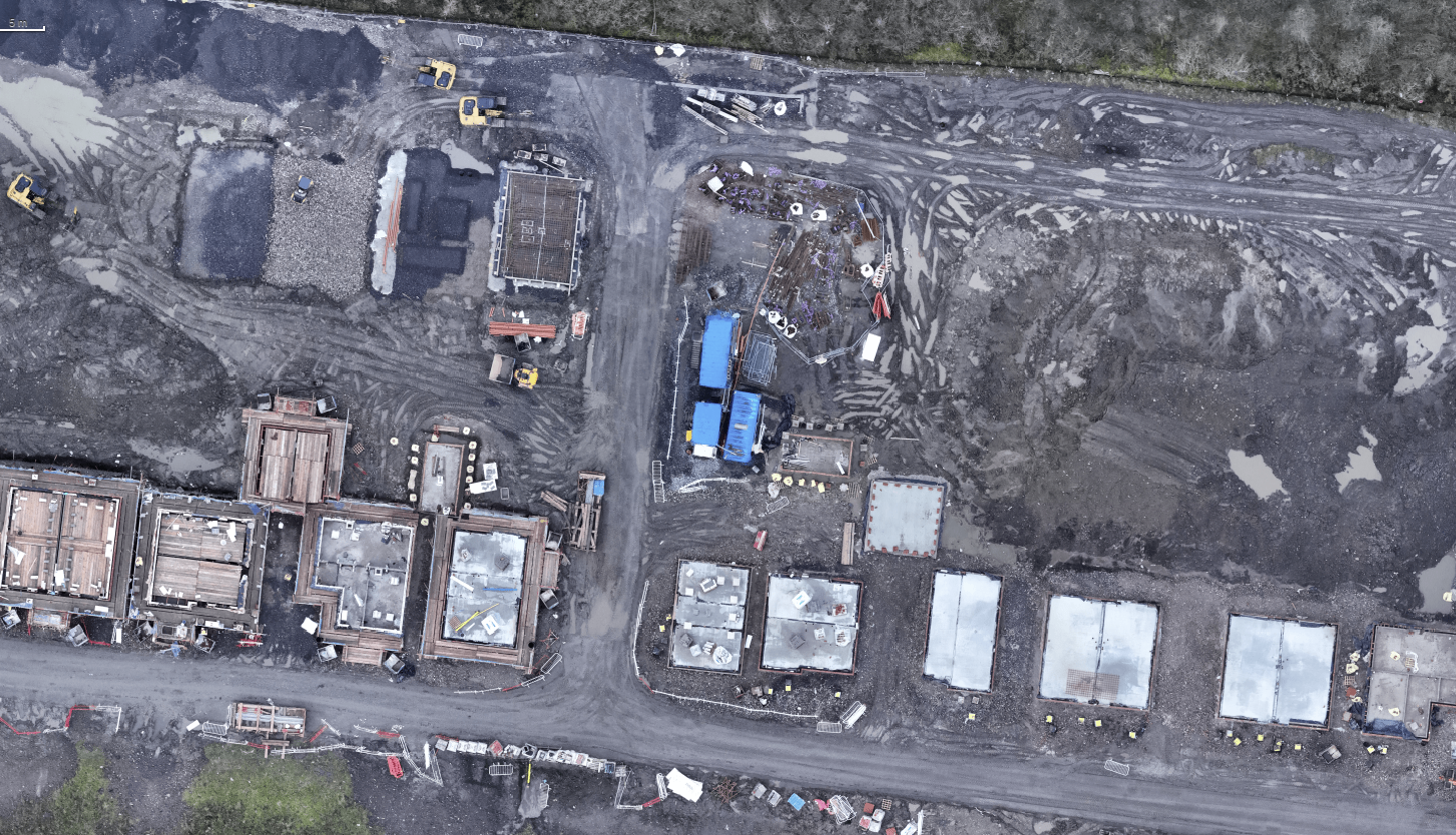
2D Mapping
High-resolution 2D aerial maps providing clear, accurate views for planning, surveying and land analysis
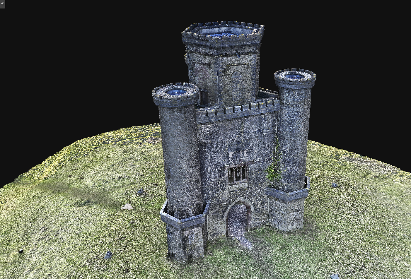
3D Model
Detailed 3D models that transform aerial data into realistic, interactive views for site analysis, planning and project visualisation
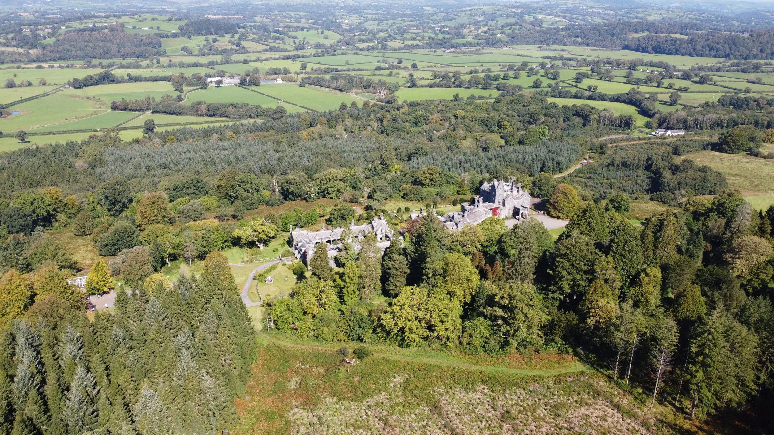
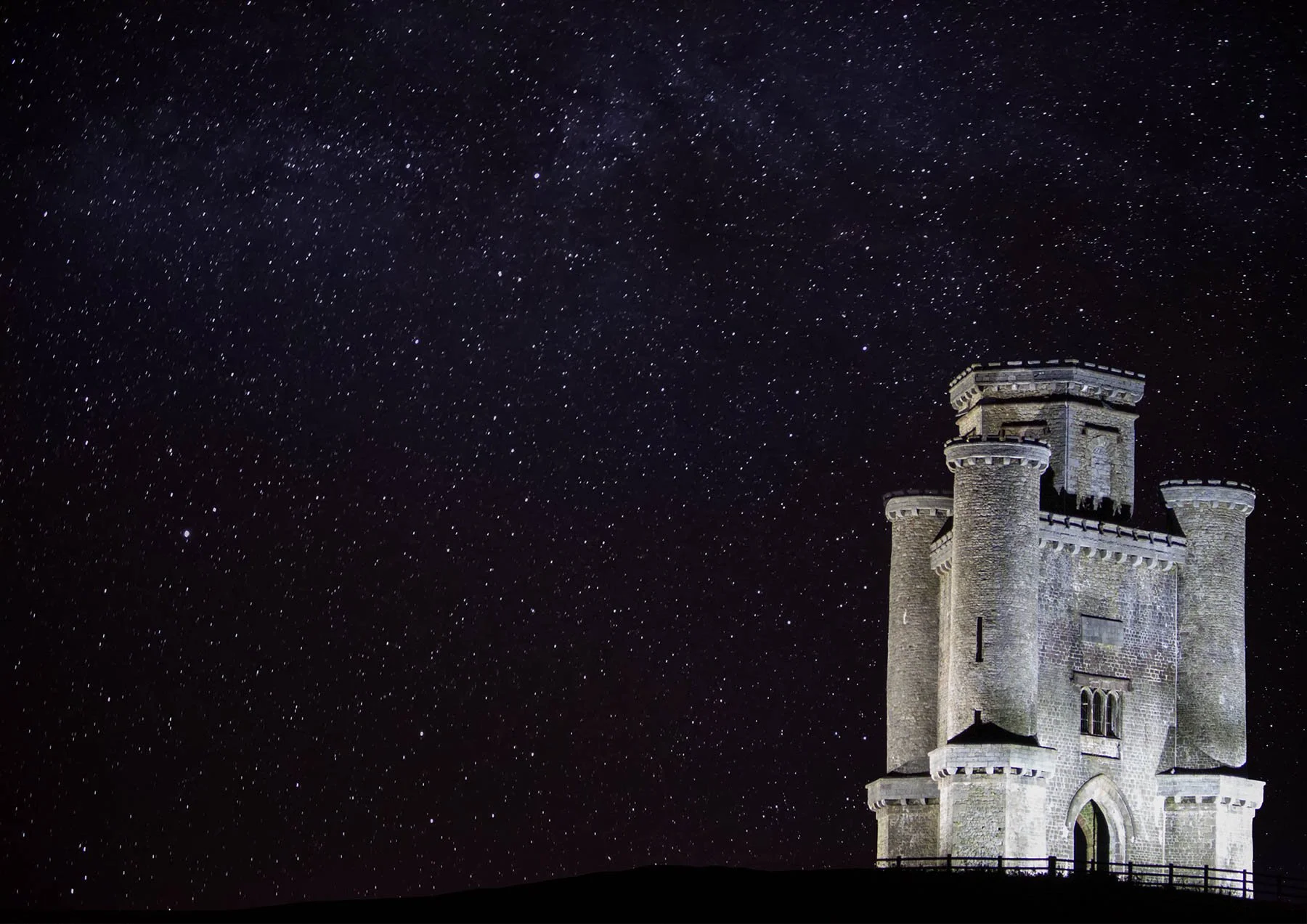
Aerial Photography
Hight-quality aerial photography capturing detailed, cinematic visuals for marketing, documentation, and site overviews
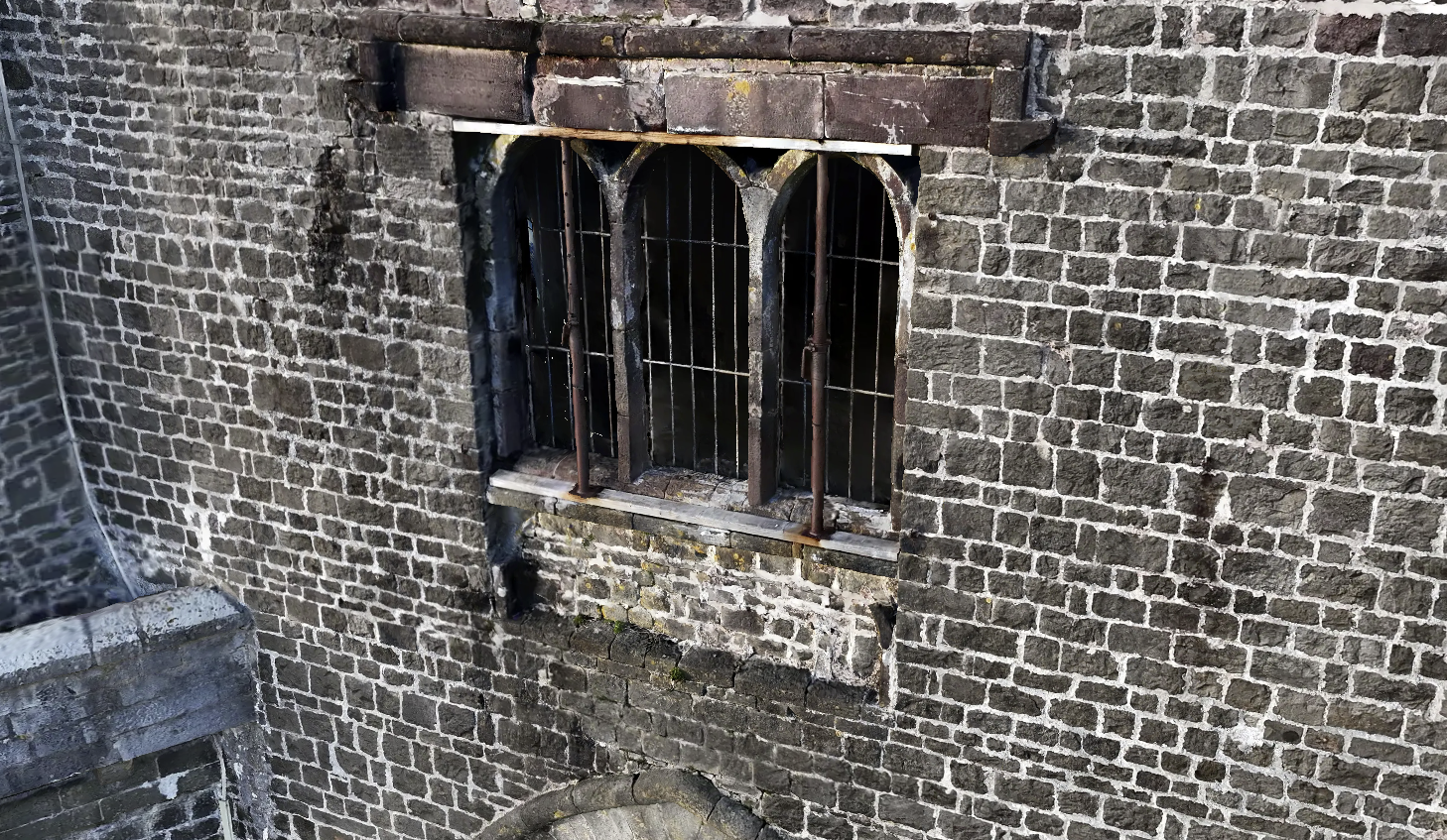
Historical Preservation
Detailed aerial documentation designed to record, monitor and support the preservation of historical and heritage sites
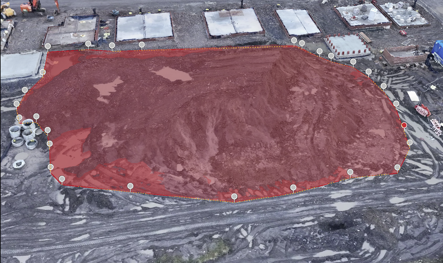
High-Precision Topography
High- accuracy drone data capture providing centimetre- level precision using RTK technology, ideal for site analysis, mapping, and planning support.
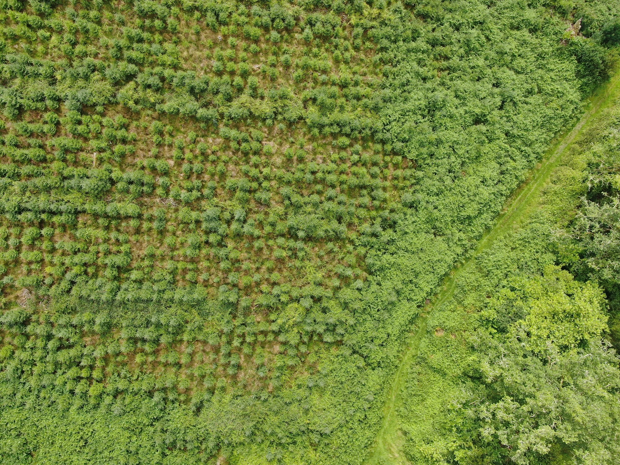
Agricultural & Nature Zoning
Aerial visulisations and mapping to help plan and set up zones for crop, wildlife habitats or land management projects
Media Services
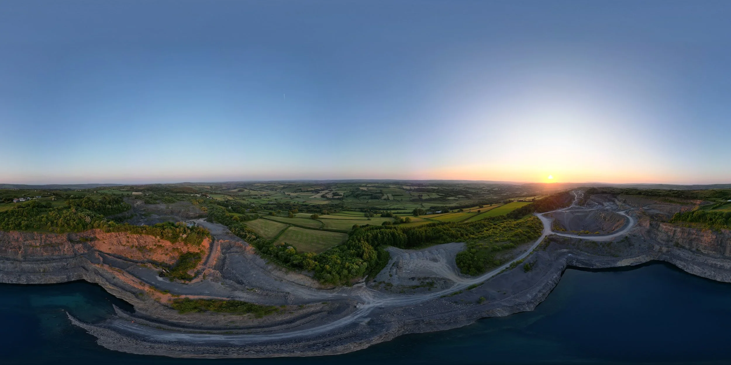
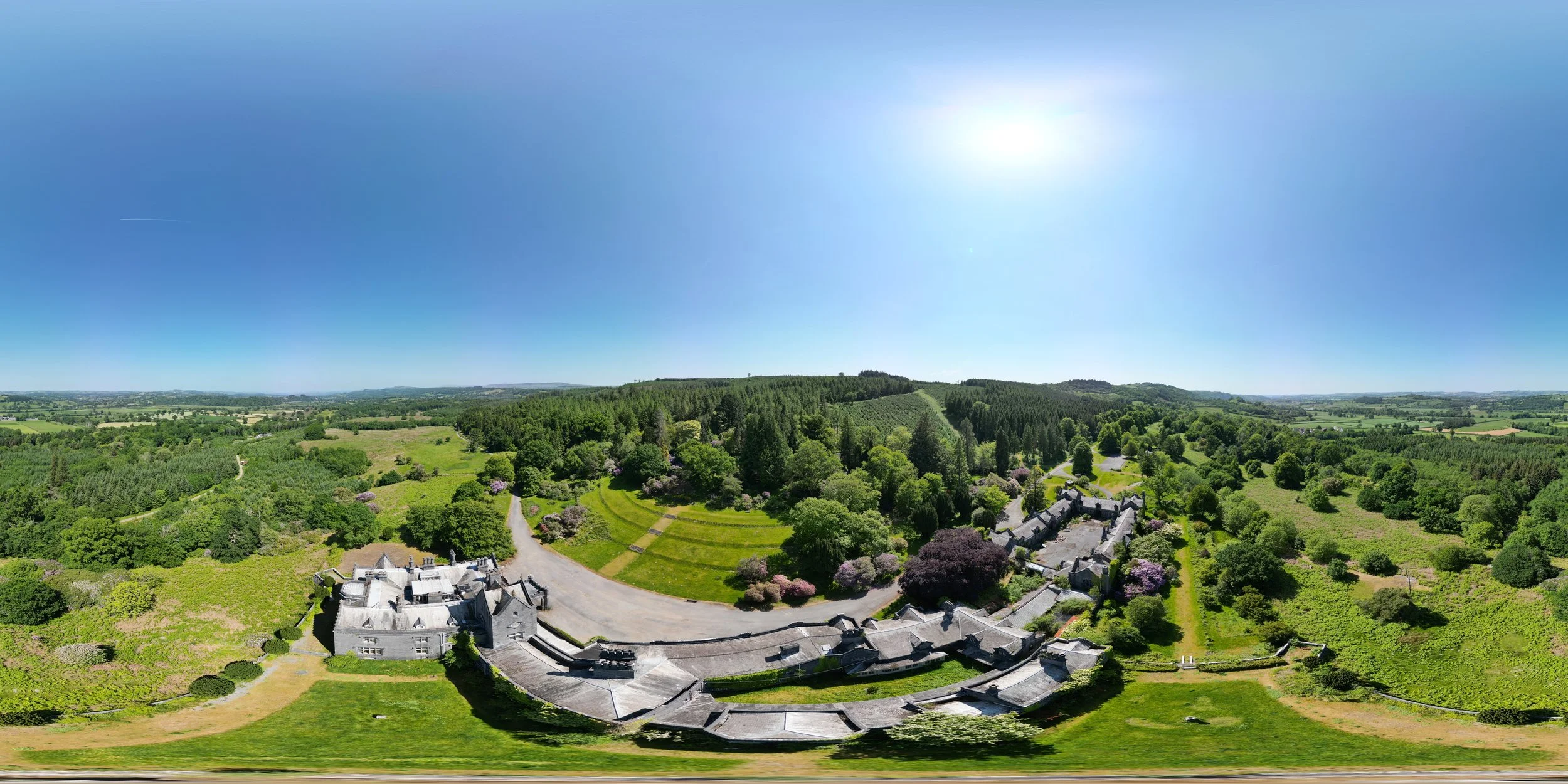
360 Tours
Imersive 360 tours that give a full, interactive view of properties, landscapes, and project sites - perfect for showcasing spaces from every angle.

Real Estate Photography
High- quality aerial and ground photography highlighting properties, developments, and land, designed to attract attention and provide clear visual insight.